Chicago Weather Shifts to Warm, Muggy Conditions With Severe Thunderstorm Risk
Chicago weather is transitioning from dry conditions to a period of instability with scattered thunderstorms and increased humidity through early next week.
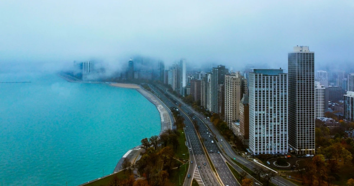
Chicago weather is shifting dramatically as warm, muggy air moves into the region, triggering a significant severe thunderstorm threat that will persist through early next week. Temperatures have already reached the upper 80s, with the potential for the first 90-degree days of the year arriving by midweek.
Current Conditions and Immediate Forecast
The Chicago area is experiencing one of its warmest overnight periods of the year, with temperatures hovering in the low 70s across most locations. O'Hare Airport tied for the warmest temperature of the year at 87 degrees, setting the stage for increasingly unstable conditions ahead. The combination of warm air and rising humidity is creating favorable conditions for thunderstorm development beginning Friday morning and continuing intermittently through Saturday morning.
The Storm Prediction Center has placed much of the viewing area under a "slight" risk for severe weather—the second-highest level of severe weather risk available. Late Friday afternoon and evening hours carry the greatest potential for strong-to-severe thunderstorm activity. Gusty winds represent the primary severe weather threat, though hail cannot be ruled out based on current forecast models. Cloud cover and occasional rainfall throughout Friday may limit high temperatures to around 80 degrees, below typical expectations for the period.
Extended Outlook and Weekend Activity
Saturday morning will bring another opportunity for thunderstorm development, though the primary severe weather threat is expected to focus on northern Indiana rather than Chicago proper. Much of Saturday is anticipated to remain dry or feature only brief showers. High temperatures Saturday are expected to rebound into the mid-80s. Sunday maintains a predominantly dry pattern, though scattered showers cannot be ruled out in southern and western counties, with highs in the upper 70s.
The weather pattern destabilizes again Monday and Tuesday, with scattered showers and thunderstorms returning to the forecast. Highs will reach approximately 80 degrees Monday, then climb well into the 80s Tuesday. By midweek, a blocking weather pattern is expected to develop, funneling storm systems away from the Chicago area. This setup will usher in a warm, dry stretch with temperatures climbing into the 90s as soon as Wednesday, with this heat persisting for several days.
When will thunderstorms impact Chicago?+
What are the main severe weather threats?+
How hot will it get next week?+
Will there be any dry periods over the next several days?+
Why is humidity increasing in Chicago?+
Bülten Aboneliği
Haftada bir, teknoloji ve dijital dünyadan seçtiklerimiz e-postanda. Spam yok, sadece içerik.