Powerful Earthquake Strikes Southern Philippines, Triggering Widespread Tsunami Warnings
A powerful earthquake struck off Mindanao in the southern Philippines early Monday, prompting tsunami warnings across Asia.
A major earthquake struck off the coast of the southern Philippines on Monday morning, with magnitudes recorded between 7.0 and 8.2, triggering tsunami warnings across multiple countries including Japan, Indonesia, and Taiwan. Authorities have ordered the evacuation of coastal areas as emergency agencies mobilize response efforts.
İçindekiler ›
The Earthquake and Immediate Response
The quake occurred off General Santos City on the island of Mindanao at approximately 07:37 local time, with the epicentre located in waters near the southern Philippine coast. Seismic data varies between monitoring agencies: the Philippine Institute of Volcanology and Seismology recorded a magnitude of 7.0 at a depth of 10 kilometres, while the US Geological Survey measured it at 7.8 with a depth of 35 kilometres. International agencies including Germany's Research Centre for Geosciences reported similar readings to the US data.
The strength of the tremor prompted rapid warnings across the region. Japan issued tsunami advisories for areas ranging from the southern Okinawa islands to Ibaraki Prefecture north-east of Tokyo. The US government warned that widespread hazardous tsunami waves were possible within three hours for coastlines of Indonesia, the Philippines, Palau, Taiwan, and Papua New Guinea.
Infrastructure and Evacuation Challenges
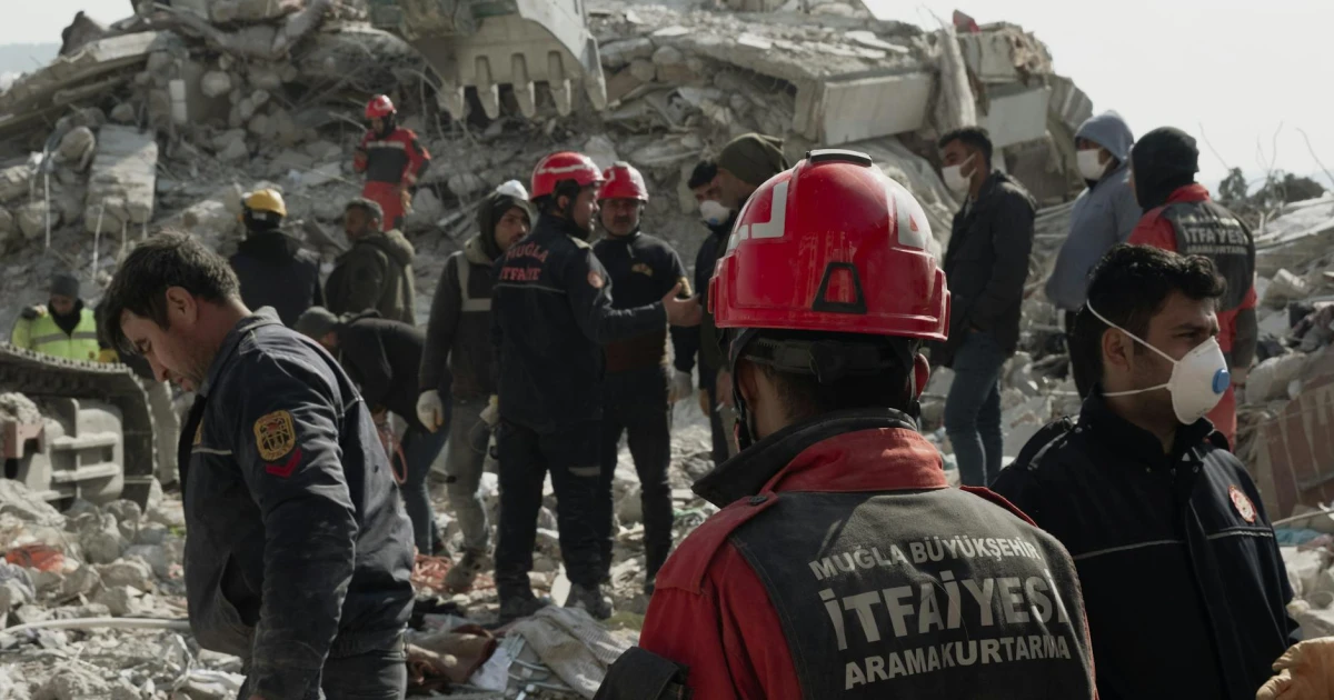
In Sarangani province, located near the epicentre, power and communications have been disrupted, complicating real-time assessment of conditions and emergency coordination. Philippine authorities have issued evacuation orders for coastal areas, with President Ferdinand Marcos Jr. directing all relevant government agencies to respond immediately. The disruption to communications infrastructure poses challenges for coordinating relief efforts and gathering damage reports from affected communities.
Regional Impact Assessment
The geographical position of the epicentre places multiple nations at risk from subsequent tsunami activity. Indonesia, as a neighbouring nation in the seismically active Pacific Ring of Fire, faces particular vulnerability. The multiple magnitude readings underscore the initial uncertainty typical in the immediate aftermath of major seismic events, with discrepancies often resolved as data from additional monitoring stations become available.
What was the magnitude of the earthquake?+
Which countries have issued tsunami warnings?+
Where exactly did the earthquake strike?+
Have evacuation orders been issued?+
Why is communication disrupted in some areas?+
Bülten Aboneliği
Haftada bir, teknoloji ve dijital dünyadan seçtiklerimiz e-postanda. Spam yok, sadece içerik.